Home
|
Stages
|
Books
|
Organisations
|
Links
|
Guest Book
|
Contact
NL
DE
EN
< Previous stage
Next stage >
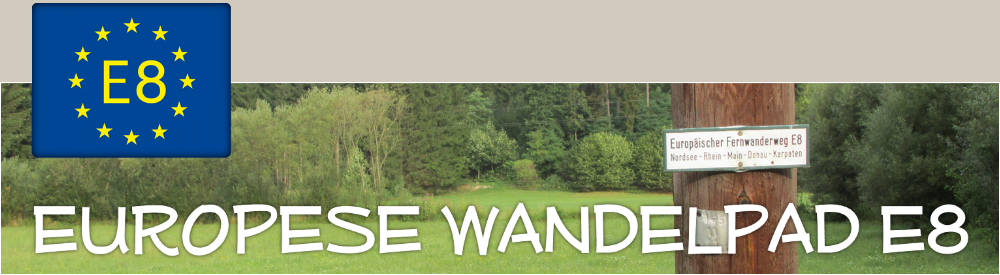
Stage 130: Gotteszell - Lalling
OSM
OTM
Map
Terrain
Satellite
Distance
:
21,4 km
|
Duration
:
7:10 hr
|
Vertical drop
:
655 m ascent / 768 m descent
|
Walk date
:
13-7-2015
Starting point
:
Gotteszell
(550 m)
|
End point
:
Lalling
(437 m)
Elevation profile
Geef een reactie op deze etappe
Alle velden moeten verplicht ingevuld worden.
Het e-mailadres wordt niet gepubliceerd.
Reactie:
Naam:
E-mail:
< Previous stage
Next stage >
© 2026 Iwan Oprins